Contact Us
The Blue Ridge Parkway attracts millions of visitors each year with its expansive views and easy access to some of the most beautiful locations in the Appalachian Mountains. Fall is often the busiest season of the year along the Parkway, and people travel from all over the country to witness the stunning progression of fall foliage down the steep mountain slopes.
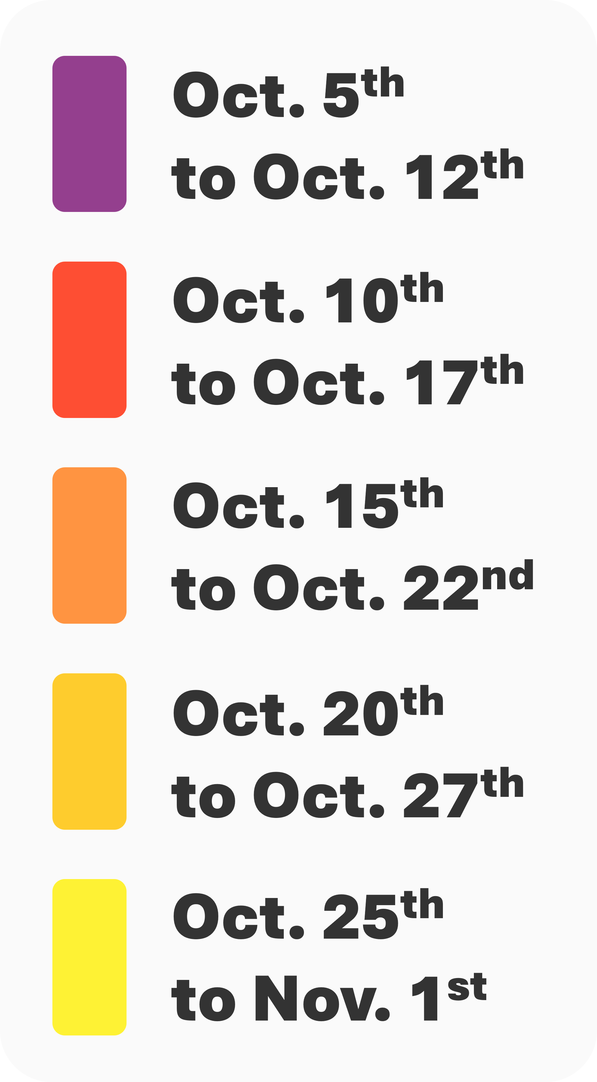
Elevation varies drastically along the Blue Ridge Parkway, ranging from 650' at the James River Visitor Center in Virginia to 6050' below the summit of Richland Balsam in North Carolina. As a result, the progression of fall foliage can be quite different from one section to the next.
That's where this map comes in handy! Before planning your fall trip to the Blue Ridge Parkway, be sure to check when fall foliage normally peaks on our interactive 3D map. Peak timing does vary year to year, but this resource allows you to identify when and where you should plan a drive along the Blue Ridge Parkway to have the best change of seeing fall foliage.
Looking for more information on real-time fall color? Our nationwide fall foliage map features daily updates and ten-day forecasts, providing further context to this "average timing" map. Have any questions? Please don't hesitate to reach out to us via email or on social media!